Overview
A brief introduction to Umatilla National Forest
McKay Creek National Wildlife Refuge is a United States National Wildlife Refuge located between plains and the Blue Mountains of Eastern Oregon. The refuge provides habitat for rare and endangered species and breeding and migratory birds. The lack of other local wetland habitats elevates the importance of this refuge as a home to a variety of wildlife and plant species in an arid environment.
McKay Creek National Wildlife Refuge, dam and reservoir are named for Dr. William C. McKay, an early pioneer in the Pendleton, Oregon, area. McKay settled near the mouth of McKay Creek in about 1851. The location was known to natives as Houtama. McKay died in 1893.
Aquatic habitats serve as resting and feeding areas for wintering waterfowl, while surrounding shrub-steppe and riparian corridors provide habitat for small mammals, mule deer, songbirds, and birds of prey.
Osprey nest in the refuge's cottonwoods, and bald eagles are seen in the area in fall and winter. During late summer, exposed mud flats provide a source of food for migrating shorebirds. Because it is situated five miles south of the city of Pendleton, the refuge receives almost 50,000 annual visitors, most during the summer months.
Upland bird hunting remains popular, with as many as 500 hunters each year pursuing pheasant and quail. Other activities include driving, walking, picnicking or observing the wildlife and scenery.
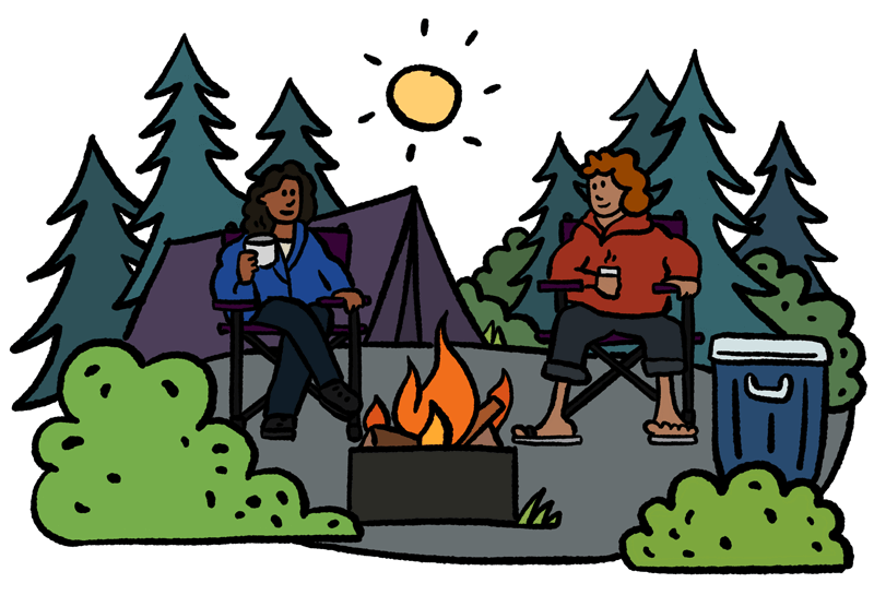
ARE Umatilla National Forest campsites SOLD OUT?
We can help! Many campsite reservations are cancelled daily. Just tell us when you’d like to camp at Umatilla National Forest, and how long you want to camp for. We’ll text you when a suitable spot opens up!
Scan for cancellationsContact Umatilla National Forest
- Recreation.gov
- Booking site: https://www.recreation.gov
Spotted an error?
Whoops! Sometimes we make mistakes. Want to help improve the Umatilla National Forest listing? Please suggest a correction.
Other nearby parks
Open to camping at other nearby parks? Here are a few other parks you'll find in the vicinity.
Reviews
Camper reviews for Umatilla National Forest
Be the first to post a review of Umatilla National Forest!
How was your visit to Umatilla National Forest? Share your review of Umatilla National Forest and help fellow nature-lovers make an informed decision.
Post a reviewPlease be nice. Around here, we try to be helpful, inclusive, and constructive.
Map
View a map of Umatilla National Forest
UNABLE TO RESERVE A CAMPSITE?
Get notified when a sold-out campground has availability
Tell us when, where, and how long you want to camp for. We’ll notify you (via SMS) when a suitable spot opens up at that campground—so you can nab that sold-out campsite reservation!