Overview
A brief introduction to Dalton Highway
The Dalton Highway stretches 414 miles across northern Alaska from Livengood (84 miles north of Fairbanks) to Deadhorse and the oilfields of Prudhoe Bay. Built to allow for construction of the trans-Alaska oil pipeline in the 1970s, this mostly gravel highway travels through rolling, forested hills, across the Yukon River and Arctic Circle, through the rugged Brooks Range, and over the North Slope to the Arctic Ocean.
The BLM manages a swath of public lands along the highway from the Yukon River to the north side of the Brooks Range. Within the Dalton corridor, the BLM maintains campgrounds, rest areas, interpretive panels and the Arctic Interagency Visitor Center in Coldfoot.
To learn more, visit the Arctic Interagency Visitor Center website.
Know Before You Go
This is no ordinary road -- it pays to be prepared. The road is narrow, rough, steep, and mostly gravel -- prone to clouds of dust, slick mud, and sudden potholes. It’s still primarily an industrial corridor, with heavy truck traffic, though drivers also need to keep an eye out for motorcycles, bicyclists, and wildlife crossings. North of Coldfoot, you may encounter snow and ice any month of the year. Lightning-caused wildfires are increasingly common. Cell phone service is extremely limited. Currently, only GCI and AT&T are available in Coldfoot and scattered locations along the highway. There are no medical facilities or grocery stores.
Before you embark on this incredible journey, be sure to check your vehicles tires and fluids, carry extra motor oil and a spare tire(s), and if possible, utilize a CB radio tuned to channel 19. Check travel conditions and alerts at 511.alaska.gov.
Recreational Activities
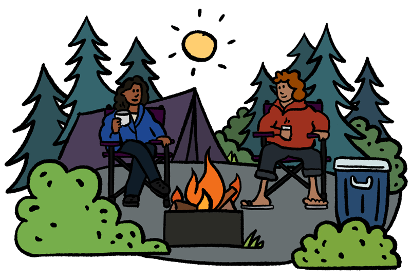
From hiking to boating, gold panning to wildlife-watching, there are numerous opportunities for recreation alongside the Dalton Hwy. The BLM maintains four developed campgrounds, each open late May through early September. See the Dalton Highway Campgrounds factsheet for more information.
Note that Alaska State statutes prohibit use of off-road vehicles, including snowmachines, for 5 miles on either side of the Dalton Hwy, north of the Yukon River. Alaska Department of Fish and Game allows only bow hunting within 5 miles either side of the Dalton Hwy north of the Dalton Hwy as well.
Pack it In, Pack it Out
The BLM hauls approximately 20 tons of litter from the Dalton Highway back to Fairbanks (the nearest landfill) each year. Please help reduce waste and litter by packing out everything you pack in.
Snowden Mountain is a 6,420-foot-elevation (1,960-meter) mountain summit located in the Brooks Range, in the U.S. state of Alaska.
ARE Dalton Highway campsites SOLD OUT?
We can help! Many campsite reservations are cancelled daily. Just tell us when you’d like to camp at Dalton Highway, and how long you want to camp for. We’ll text you when a suitable spot opens up!
Scan for cancellationsContact Dalton Highway
- Recreation.gov
- Booking site: https://www.recreation.gov
Spotted an error?
Whoops! Sometimes we make mistakes. Want to help improve the Dalton Highway listing? Please suggest a correction.
Reviews
Camper reviews for Dalton Highway
Be the first to post a review of Dalton Highway!
How was your visit to Dalton Highway? Share your review of Dalton Highway and help fellow nature-lovers make an informed decision.
Post a reviewPlease be nice. Around here, we try to be helpful, inclusive, and constructive.
Map
View a map of Dalton Highway
UNABLE TO RESERVE A CAMPSITE?
Get notified when a sold-out campground has availability
Tell us when, where, and how long you want to camp for. We’ll notify you (via SMS) when a suitable spot opens up at that campground—so you can nab that sold-out campsite reservation!