Overview
A brief introduction to Coconino National Forest Recreation
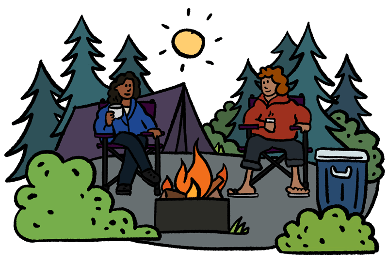
Coconino National Forest, situated in northern Arizona near Flagstaff and Sedona, offers some of the most diverse and scenic camping opportunities in the United States. Renowned for its variety of ecosystems, the forest includes stunning red rock canyons near Sedona, dense ponderosa pine forests, and alpine tundra atop the San Francisco Peaks.
Developed Campgrounds
Cave Springs Campground
Located in Oak Creek Canyon near Sedona, Cave Springs is one of the forest’s most popular campgrounds. It features 84 campsites equipped with picnic tables, fire rings, grills, restrooms, drinking water, and coin-operated showers. Visitors can enjoy activities such as fishing in Oak Creek, hiking scenic trails, birdwatching, and swimming nearby at Slide Rock State Park. Cave Springs Campground operates from April to October and accommodates vehicles up to 36 feet.
Ashurst Lake/Forked Pine Campgrounds
These rustic campgrounds near Flagstaff offer 25 first-come, first-served sites beneath the majestic San Francisco Peaks. Each site includes picnic tables, fire pits, grills, vault toilets, and potable water. Ideal for fishing, boating on Ashurst Lake, and hiking nearby trails, these campgrounds welcome RVs up to 35 feet long. Open seasonally from May through October.
Knoll Lake Campground
Nestled near the scenic Mogollon Rim, Knoll Lake Campground provides a tranquil camping experience with 30 sites accommodating RVs and tents up to 32 feet. Campsites feature picnic tables, fire rings, potable water, and vault toilets. Visitors often engage in kayaking, trout fishing, hiking, and horseback riding while enjoying spectacular cliff views and wilderness surroundings.
Pine Grove Campground
Situated approximately 20 miles from Flagstaff, between Upper Lake Mary and Ashurst Lake, Pine Grove offers reservable sites equipped with flush toilets, showers, picnic tables, and fire rings. The adjacent lakes are stocked with trout, making it a prime location for fishing and boating. Additionally, the area is excellent for birdwatching, with opportunities to spot rare waterfowl, bald eagles, and ospreys.
Dispersed Camping
For those seeking solitude and a more primitive camping experience, dispersed camping is widely available throughout the forest. Freidlein Prairie, located along Freidlein Prairie Road, offers designated dispersed sites with metal fire rings. These areas provide a genuine wilderness experience ideal for reconnecting with nature.
Access and Transportation
Access to camping areas within Coconino National Forest is typically straightforward via major routes such as Interstate 17 from Phoenix. However, some campgrounds, especially around Flagstaff, may require traveling along winding dirt roads. Campers are encouraged to check current road conditions, campground availability, and any active fire restrictions prior to arrival.
Recreational Activities
In addition to camping, Coconino National Forest offers abundant recreational activities throughout the year. Visitors can explore hundreds of miles of hiking trails, fish in stocked lakes and rivers, enjoy boating at Lake Mary Recreation Area, or experience skiing at Arizona Snowbowl during winter months. Scenic driving routes like Oak Creek Canyon and the Snowbowl Scenic Drive provide breathtaking views, further enhancing the outdoor experience
Camping in Coconino National Forest provides visitors with unforgettable scenery, diverse recreation, and numerous camping options, making it one of Arizona’s most sought-after outdoor destinations.
ARE Coconino National Forest Recreation campsites SOLD OUT?
We can help! Many campsite reservations are cancelled daily. Just tell us when you’d like to camp at Coconino National Forest Recreation, and how long you want to camp for. We’ll text you when a suitable spot opens up!
Scan for cancellationsContact Coconino National Forest Recreation
- Recreation.gov
- Booking site: https://www.recreation.gov
Spotted an error?
Whoops! Sometimes we make mistakes. Want to help improve the Coconino National Forest Recreation listing? Please suggest a correction.
Other nearby parks
Open to camping at other nearby parks? Here are a few other parks you'll find in the vicinity.
Reviews
Camper reviews for Coconino National Forest Recreation
Be the first to post a review of Coconino National Forest Recreation!
How was your visit to Coconino National Forest Recreation? Share your review of Coconino National Forest Recreation and help fellow nature-lovers make an informed decision.
Post a reviewPlease be nice. Around here, we try to be helpful, inclusive, and constructive.
Map
View a map of Coconino National Forest Recreation
UNABLE TO RESERVE A CAMPSITE?
Get notified when a sold-out campground has availability
Tell us when, where, and how long you want to camp for. We’ll notify you (via SMS) when a suitable spot opens up at that campground—so you can nab that sold-out campsite reservation!