Sugarloaf Ridge State Park Camping
notifications Text me when there's a cancellation at Sugarloaf Ridge SP

Sugarloaf Ridge SP
Sugarloaf Ridge SP
Sugarloaf Ridge SP
Sugarloaf Ridge SP
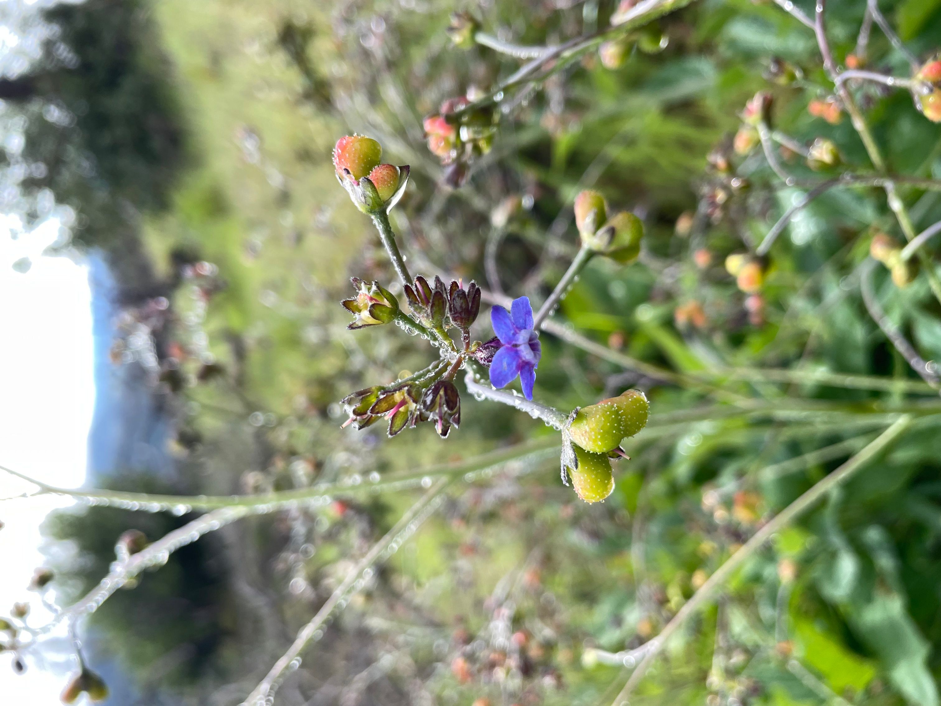
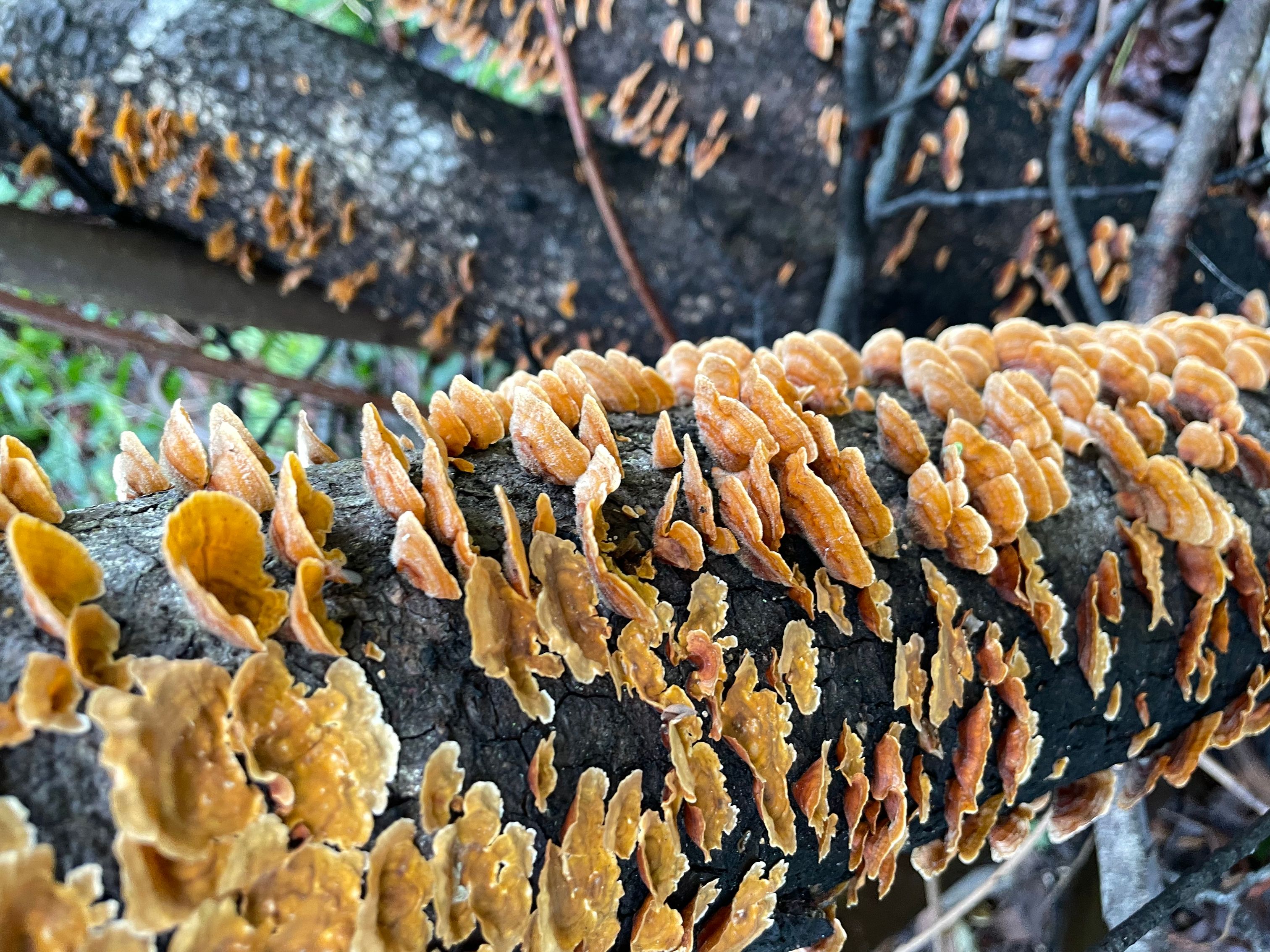
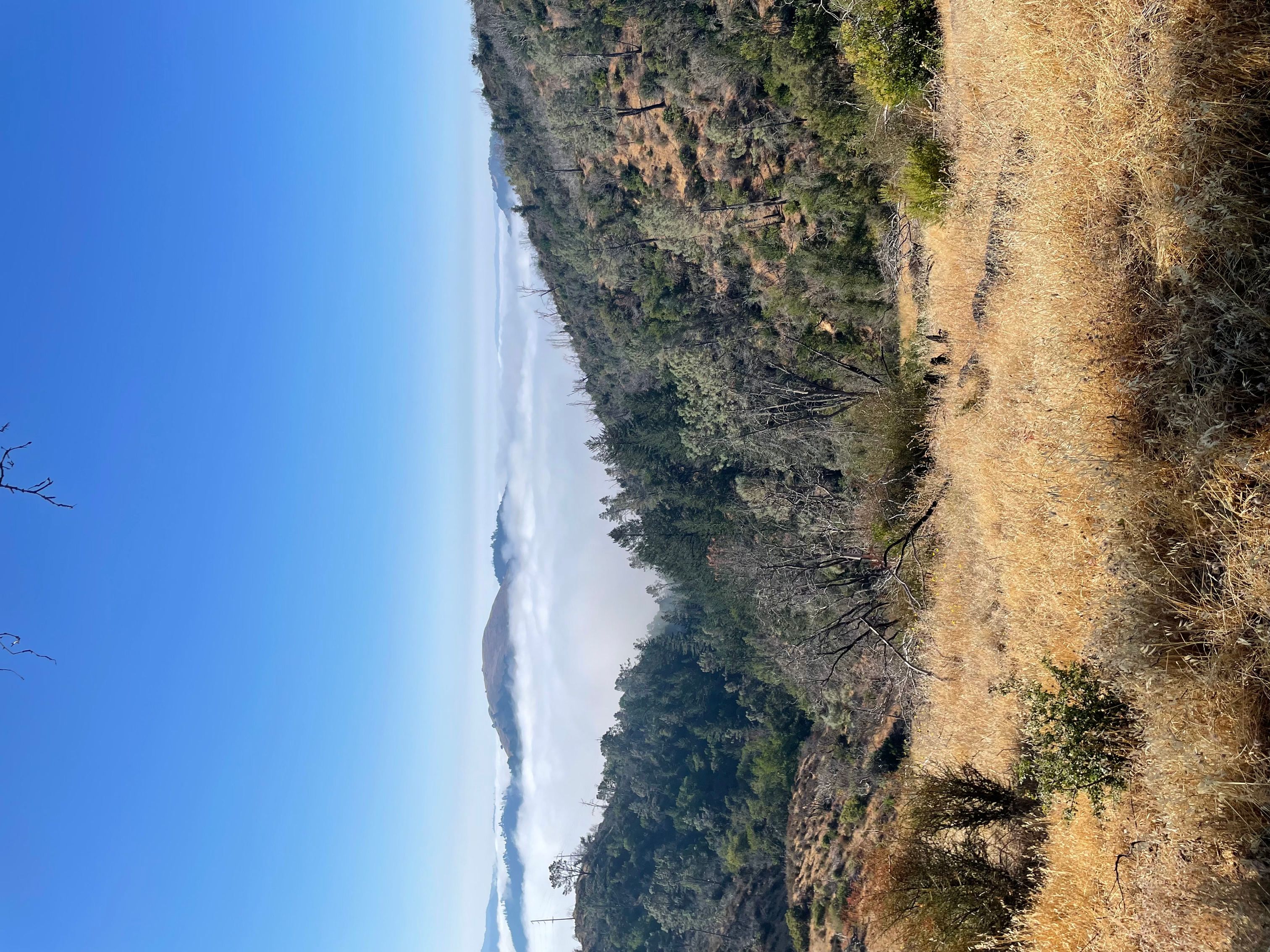
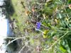
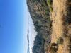
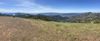
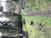
Sugarloaf Ridge State Park is a state park in Northern California, United States. Located in the Mayacamas Mountains northeast of Kenwood, the park straddles the boundary between Sonoma and Napa counties. The park contains the 2,729-foot (832 m) Bald Mountain and the headwaters of Sonoma Creek including a 25-foot (8 m) tall seasonal waterfall. The park is also home to the volunteer-run Robert Ferguson Observatory. Camping, picnicking, horseback riding, mountain biking, stargazing, fishing and hiking are common attractions of Sugarloaf. The park boasts 25 miles of trails with trails ranging from less than a mile to 8.8 miles, and elevation gains reaching 2,500 feet.
The ridge has two main peaks, the southern one being 1,939 feet (591 m) above sea level and northern one being 2,265 feet (690 m). The southern peak contains an extensive microwave antenna. The higher northern peak has two panels identifying geographic features in view. There is also a bench.
Sugarloaf Ridge was one of the first parks to close under the California State Parks plan to close up to 70 of its 278 parks due to budget cuts. The closures were deemed necessary to achieve an $11 million reduction in the next fiscal year 2011/12, that amount increasing to $22 million in the following fiscal year 2012/13. The park was reopened by Team Sugarloaf in June 2012 to restore access to camping and hiking trails. Team Sugarloaf continues to operate the park.
The park's official address is 2605 Adobe Canyon Road, Kenwood, CA 95452.
We can help! Many campsite reservations are cancelled daily. Just tell us when you’d like to camp at Sugarloaf Ridge State Park, and how long you want to camp for. We’ll text you when a suitable spot opens up!
Scan for cancellationsWhoops! Sometimes we make mistakes. Want to help improve the Sugarloaf Ridge SP listing? Please suggest a correction.
Open to camping at other nearby parks? Here are a few other parks you'll find in the vicinity.

Good quality, excellent staffing and facilities for a State Park.
Hikes range from low impact, to 9+ mile 2000+elevation, from paved fire-road to single file forest path. Creek has water 90% of the year. Waterfall dries up mid summer. No cellular, and wifi is low-quality shared satellite pay-for-use. Great central field for kids to play, circle for biking but no grass. Call at 10am for a few "same-day" camping sites.

Tell us when, where, and how long you want to camp for. We’ll notify you (via SMS) when a suitable spot opens up at that campground—so you can nab that sold-out campsite reservation!
We love camping, and want to help you reserve the perfect campsite!